Clear drone maps for Nantucket properties.
Nantucket drone mapping and aerial documentation for caretakers, land managers, and homeowners, especially useful for coastal edges, storms, and “what changed?” updates. Centimeter-level precision, with optional GCPs and 3D outputs.
FAA Part 107 certified • Insured
Why this is useful on Nantucket
Properties change quickly from storms, shifting sand, bluff edges, and invasive species. Aerial views provide ground truth that makes it easier to document, plan, and communicate.
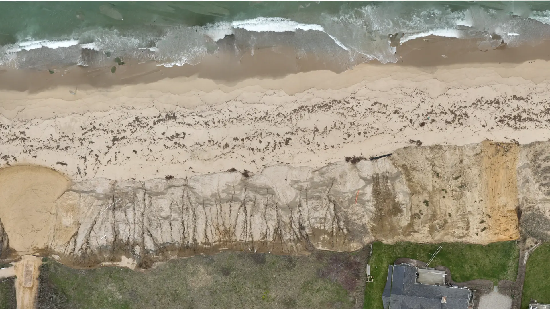
Erosion & edges
Track vulnerable areas over time with consistent, repeatable views.
Storm documentation
Create a dated record before and after weather events to support decisions.
Owner communication
Send simple JPG map exports that are easy to understand and easy to forward.
What you get
A shareable package built for quick decisions and clear records.
Deliverables
- JPG exports for email, reports, and quick review
- Optional GeoTIFF for GIS workflows
- Optional 3D point clouds and models
- Labeled, organized files delivered as one folder
Common use cases
- Coastal edge/erosion and storm documentation
- Roof/exterior, property overview, and construction progress
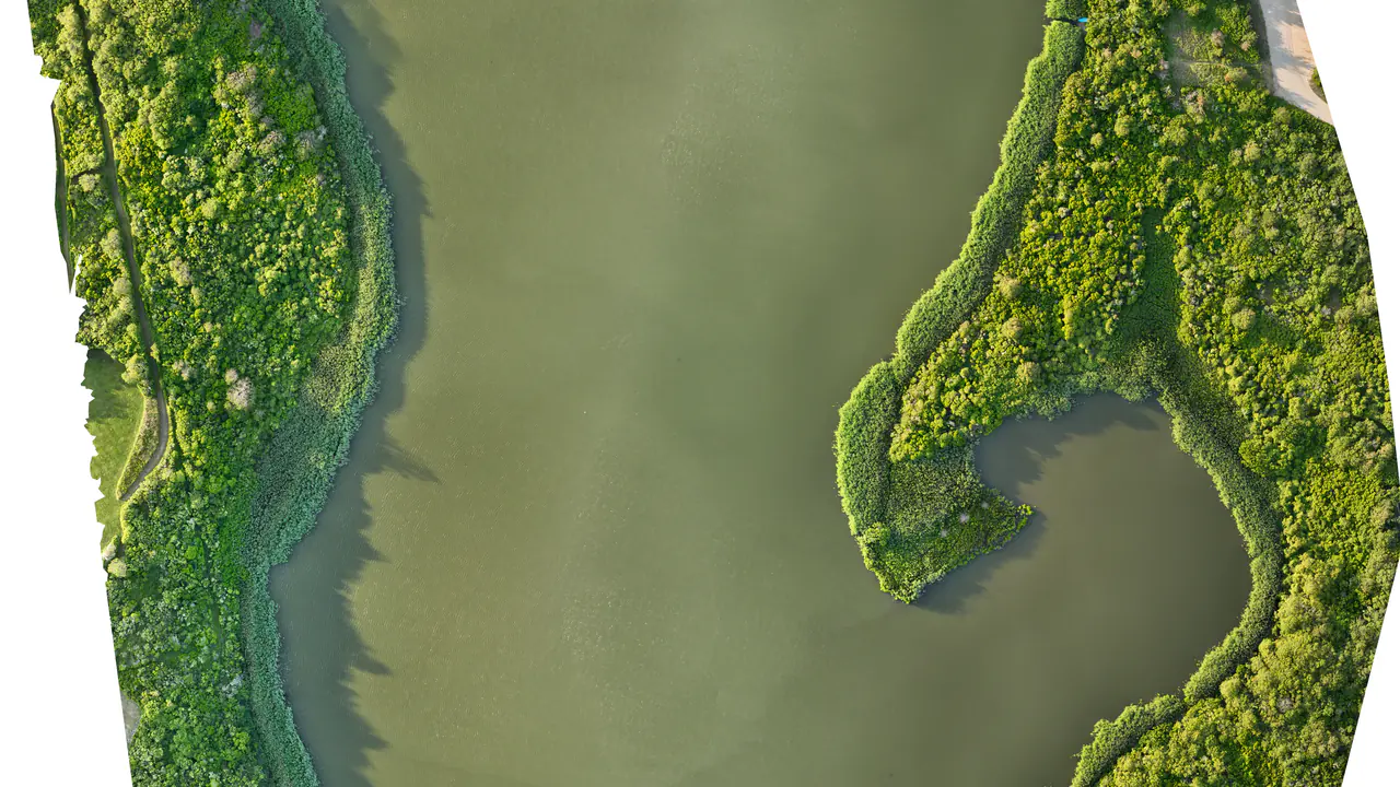
- Ponds, wetlands, and trail conditions
- Invasive species tracking
Accuracy
- Centimeter-level precision by default on all projects
- Optional GCPs for even better accuracy and tighter alignment to site control
- Helpful when matching plans, staking work, or comparing to survey data
Example outputs
Typical JPG exports from mapping deliverables—easy to email, annotate, and keep on file.
Useful for monitoring spread and treatment planning over time.
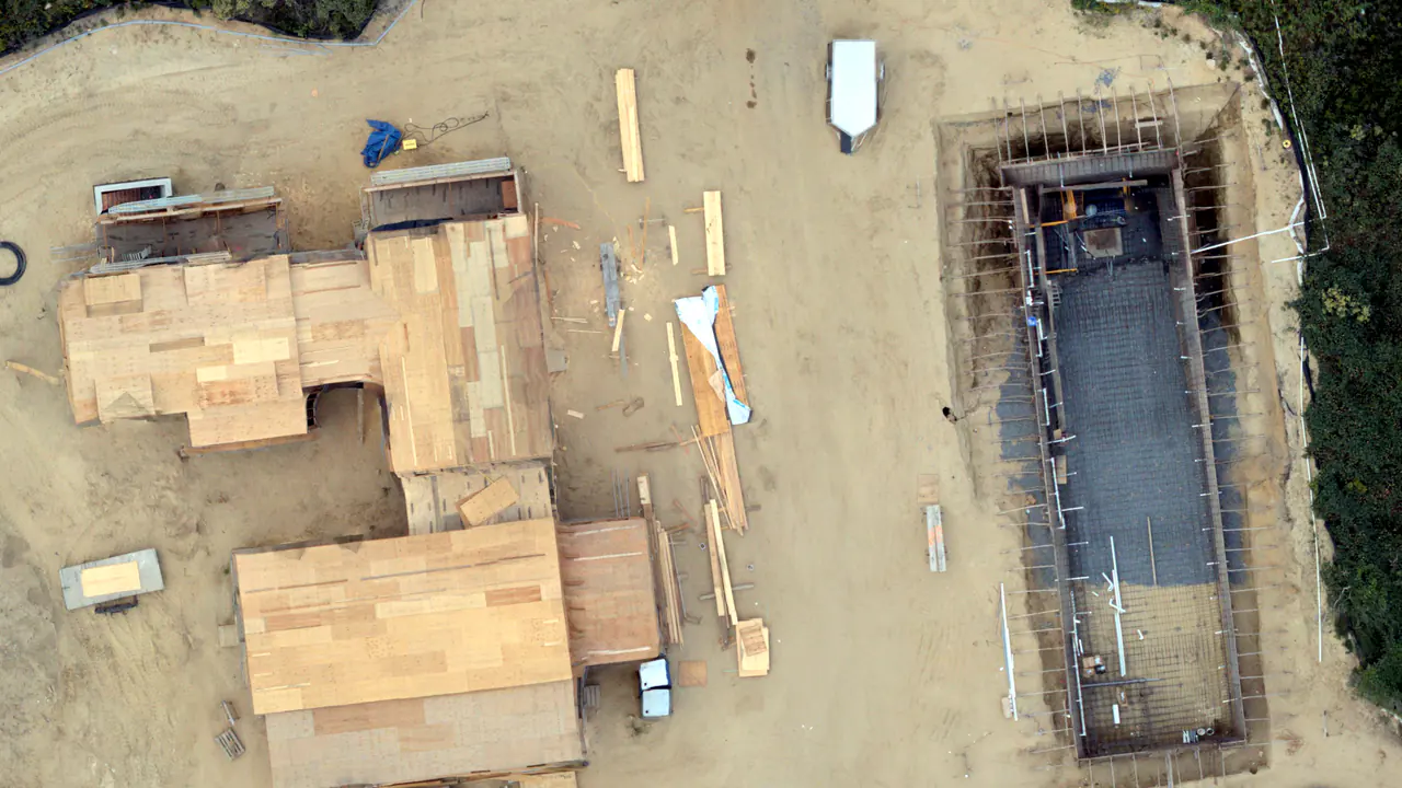
Share updates off-island with optional markup for trenches, conduits, drains, and utilities.
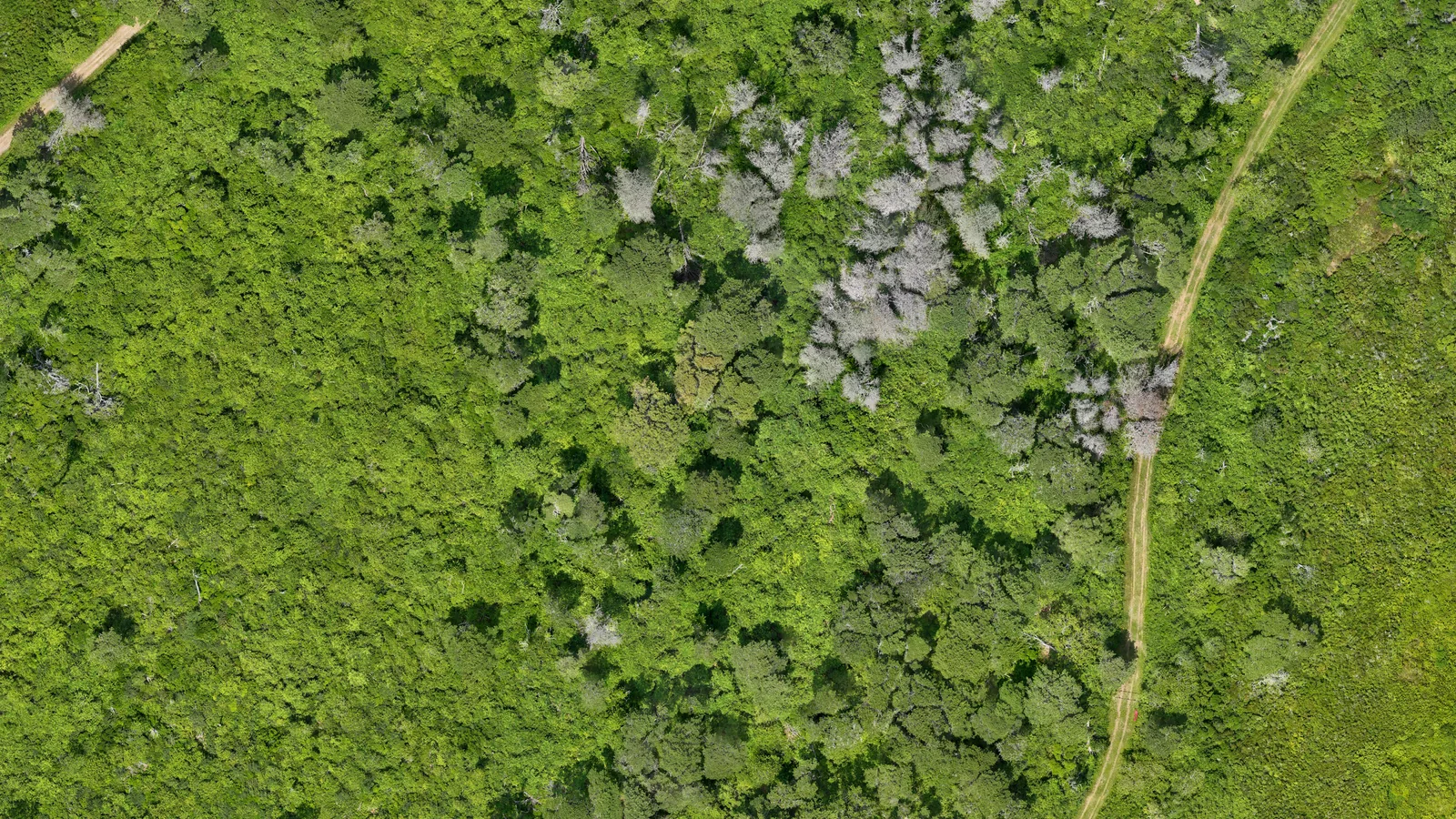
Forest health documentation: mortality patterns and change over time.
How it works
Simple workflow designed for quick decisions.
-
1) Scope
Define the area, use case (coastal edge/erosion + storms, roof/exterior + construction, ponds/wetlands/trails, invasive species), and whether you want GeoTIFF/3D outputs or GCPs.
-
2) Capture
We fly the site and capture clear views of the areas you care about.
-
3) Deliver
Shareable JPG exports, plus optional GeoTIFF and/or 3D outputs. Organized, labeled, and ready to forward.
Typical deliverables
Labeled JPGs + optional GeoTIFF and/or 3D outputs, delivered as a single folder.
Contact
Email a short note with the address/area, what you want documented, and any timing constraints.
FAA Part 107 certified and insured.
Available year-round on Nantucket.